Airedale General Hospital is revolutionizing its reinforced autoclaved aerated concrete (RAAC) monitoring and repairs system with the help of Esri UK’s indoor mapping geospatial system.
This innovative technology is not only ensuring the safety of patients and staff at the hospital, but also streamlining the inspection process of 20,000 concrete planks by 50%.
By replacing traditional paper-based processes with digital workflows, the Geographic Information System (GIS) software from Esri UK is enhancing the accuracy and efficiency of RAAC inspections at Airedale General Hospital.
Utilizing Esri’s ArcGIS system, the hospital can pinpoint areas of high risk in real-time, enabling informed decisions on mitigation works to be made promptly.
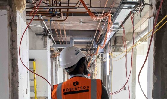
With a majority of the hospital’s infrastructure made of RAAC panels, the need for meticulous monitoring and mitigation efforts is crucial until its planned reconstruction in 2030 through the government’s hospital programme.
The digital workflow supported by the Esri GIS provides Airedale General with detailed inspection data captured via custom forms on iPads, facilitating timely assessments and interventions to maintain safe operations on site.
Richard Burgin, estates project manager at Airedale General Hospital, emphasized the importance of the GIS in managing the volume of work effectively, enhancing communication with stakeholders, and prioritizing repairs to ensure operational safety.