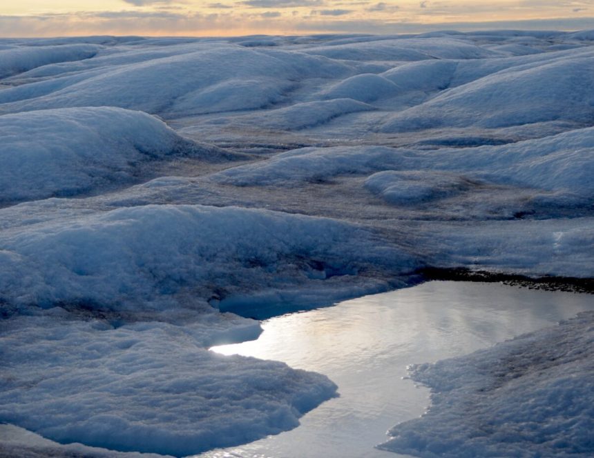
A mesmerizing image of a melting pond on top of Greenland’s vast ice sheet, captured by Marco Tedesco, offers a stark glimpse into the impacts of climate change. Greenland, an Arctic island roughly half the size of the United States, boasts a polar ice cap that is a staggering three kilometers thick at its core. However, the rapid melting of Greenland’s ice has surged in recent decades, propelling a rise in sea levels. Studies suggest that Greenland loses around 270 billion tons of ice annually, which is equivalent to the weight of 26,000 Eiffel Towers and accounts for 30-40% of the current global sea-level rise.
The primary causes of ice loss in Greenland are ice calving at its periphery and surface melting. Investigating the factors driving this acceleration in surface melting is crucial in refining projections about the fate of our oceans and how it will impact our society. This melting trend aligns with the surge in global CO2 emissions, contrary to the aims set in the Paris Agreement.
To delve deeper into this issue, a recent expedition to Greenland included marine and polar geophysicist Marco Tedesco, along with the expert in polar remote sensing Paolo Colosio, and Pulitzer Prize-winning journalist Elizabeth Kolbert. They based their operations in Kangerlussuaq, a small settlement on the west coast with a limited population and served as the entry point for international flights to Greenland. In past expeditions, helicopters have been used to reach the ice, but due to the heightened tourism in Greenland, this year’s team traversed a rugged road constructed in the 1980s.
The advancements in satellite technology, climate modeling, and artificial intelligence have revolutionized our understanding of Greenland’s melting processes. However, further innovations are necessary to unravel the complexities of climate change and devise effective solutions. These studies are crucial for both our distant future and immediate challenges, shielding populations and infrastructure from the impending impacts of a changing Earth.
The expedition leveraged drones to capture high-resolution images and data, unveiling hidden facets of the melting ice. Greenland’s melting is not solely attributable to rising global temperatures; variations in albedo, the amount of solar energy absorbed by the ice, play a pivotal role. Repeated melting and refreezing cycles, along with the deposition of dark particles on the ice, exacerbate the melting process, further altering the albedo and accelerating the ice loss.
The team faced various obstacles during data collection, from depleted drone batteries and strong winds to navigational challenges posed by swelling streams. Despite these challenges, the expedition successfully gathered valuable data that will be analyzed in the coming months. This mission sheds light on the urgency of addressing climate change and underscores the critical role Greenland’s ice plays in shaping the future of our planet and cities.


