
As climate change progresses, the ice masses in Antarctica and Greenland are major contributors to rising sea levels. To understand their impact on sea level rise, ongoing research is crucial. Two groups of scientists are collaborating to overcome a long-standing barrier to these investigations.
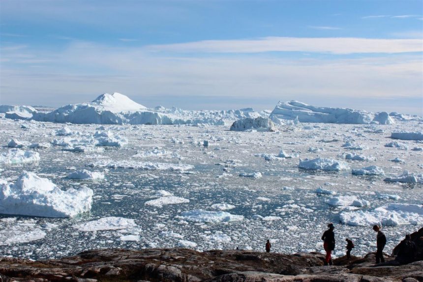
Antarctica and Greenland’s ice bodies consist of ice sheets covering their interiors as well as peripheral glaciers at the edges. These glaciers, like those in other regions, transport ice downhill, releasing icebergs into the ocean. The resulting meltwater is a significant source of sea level rise. Proper study of both ice sheets and glaciers is essential for accurate predictions of future polar ice melt and subsequent sea level rise, according to glaciologist Joerg Schaefer.
Researchers focusing on ice sheets and peripheral glaciers often work separately, leading to overlaps or exclusions in their studies. This can result in inaccurate sea level rise estimates. Efforts to align research are underway by a working group led by Ken Mankoff and Fabien Maussion under the International Association of Cryospheric Sciences (IACS).

The collaboration aims to harmonize research on Greenland and Antarctic ice sheets and peripheral glaciers to enhance sea level rise estimates. One challenge is establishing consistent geographical boundaries for these ice bodies, crucial for accurate calculations. Errors in defining ice sheet areas can lead to significant discrepancies in mass loss and sea level rise estimates, especially in Greenland where summer melting impacts edge regions.
Despite challenges, the joint effort led by Mankoff and Maussion seeks to improve accuracy in estimating sea level contribution from ice bodies. By aligning ice sheet and glacier research, the project aims for better quantification of ice mass loss and sea level rise, benefiting scientific communities worldwide.

Volunteers can follow and contribute to the group’s work on GitHub, focusing initially on understanding tools used for satellite image classification. Ensuring a consistent outline of ice bodies through remote sensing imagery will be a key step towards producing accurate data for various research communities despite challenges posed by the dynamic nature of glaciers and ice sheets.
For more information about the project, visit IACS. The proposal, meeting recordings, and additional resources can be accessed on the organization’s website.
Ken Mankoff is a geoscientist, senior scientific programmer at NASA’s Goddard Institute for Space Studies and an adjunct senior scientist at the Geological Survey of Denmark and Greenland.